
Explore Our Maps
We strive to make land information readily available for our shareholders.
Doyon’s Land Department

Under the provisions of the Alaska Native Claims Settlement Act (ANCSA) Doyon will receive more than 12 million acres across Interior Alaska. Through ANCSA, Doyon became the Alaska Native regional corporation within the Interior of Alaska, and 34 village corporations were established.
To date Doyon has received title to just over 11.8 million acres, primarily around the 34 villages within our region.
Management of these lands is focused on local uses, providing education and employment opportunities, and responsible economic development of resources. Doyon works with a variety of partners, land owners, village corporations, agencies, and tribes on all aspects of land management.
Responsible Development
Pursuing socially and environmentally responsible resource development for the benefit of shareholders and villages.
Stewardship
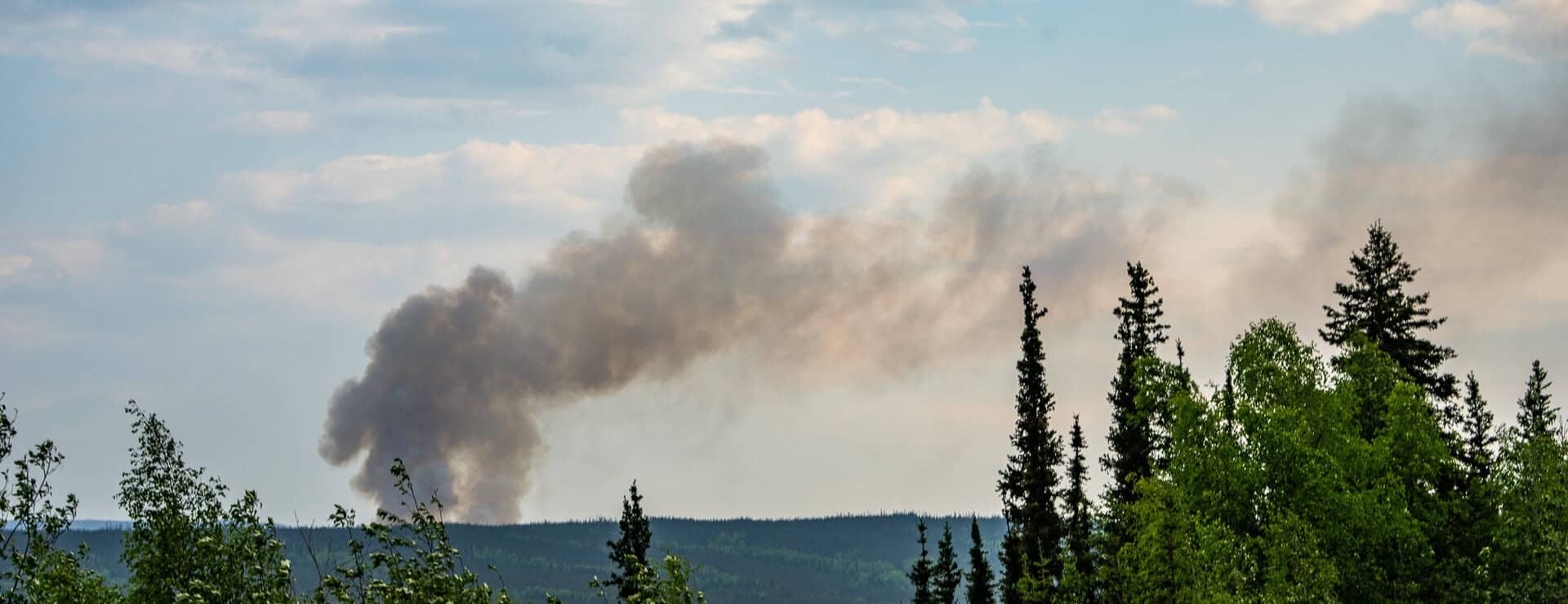
Ensuring good land stewardship through effective practices and procedures, such as trespass, material site management, and management strategies to ensure the protection of cultural and historical sites.
shareholder benefits
Participating in lands-based projects that benefit shareholders and villages.
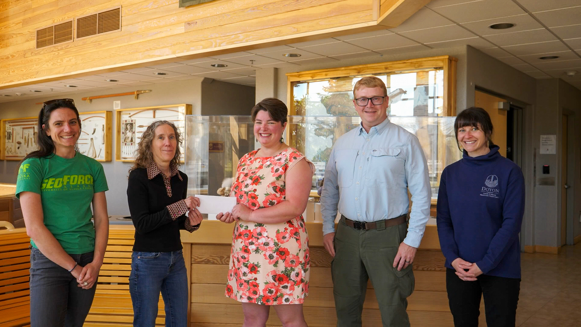
Community Engagement
Local planning and project collaboration and support for village benefits.
Local
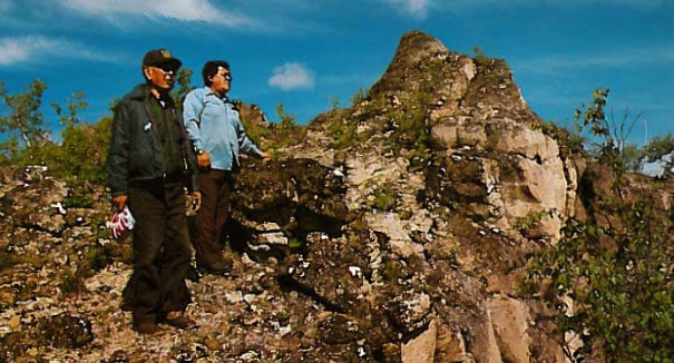
Promoting local and traditional use of lands.
Land Access
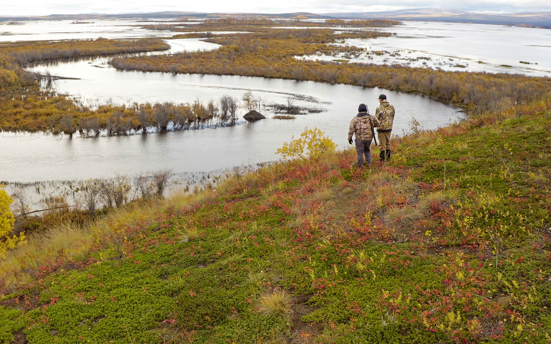
Private Air Strips
Within the Doyon Region are a number of gravel airstrips that are closed to public access. Entry on the following airstrips require the written consent of Doyon.
- Salmon Trout airstrip is located northeast of Chalkyitsik: -141.651, 66.809
- Black River airstrip is located northwest of Eagle: -142.119, 65.664
- Alder Creek airstrip is located northwest of Eagle: -142.3, 64.967
- Slate Creek airstrip is located southwest of Eagle: -142.551, 64.566
- Mt. Harper airstrip is located on the eastern side of Mt. Harper northeast of Healy Lake: -143.832, 64.237
- Golden Creek airstrip is located about 30 miles northwest of Tanana: -153, 65.293
- Grant Creek airstrip is located just north of the Yukon River adjacent to Grant Creek: -152.864, 65.233
These airstrips are subject to periodic surveillance. Trespassers will be prosecuted. In addition, creating or using unapproved airstrips on Doyon lands will be prosecuted.
Easements
Certain 17(b) easements are reserved for the public in various locations on Doyon lands. These easements are owned by Doyon and are reserved for public use for limited specific purposes. These easements are reserved to allow
for trail access to adjacent public lands. Sport hunting and fishing are never allowed on these easements. Any deviation from easement stipulations will be considered trespass and is criminally punishable under Alaska Statute
11.46.330.
Latest Land and natural resource Updates

For more information contact the Lands & Natural Resources Department at lands@doyon.com, 907-459-2030, or 1-888-478-4755 ext. 2030.